The truth about the Earth.
Make sustainable decisions.
Nature provides powerful services- like filtering water and buffering floods— services that our aging built infrastructure is struggling to provide.
And, like built infrastructure, natural assets also require monitoring.
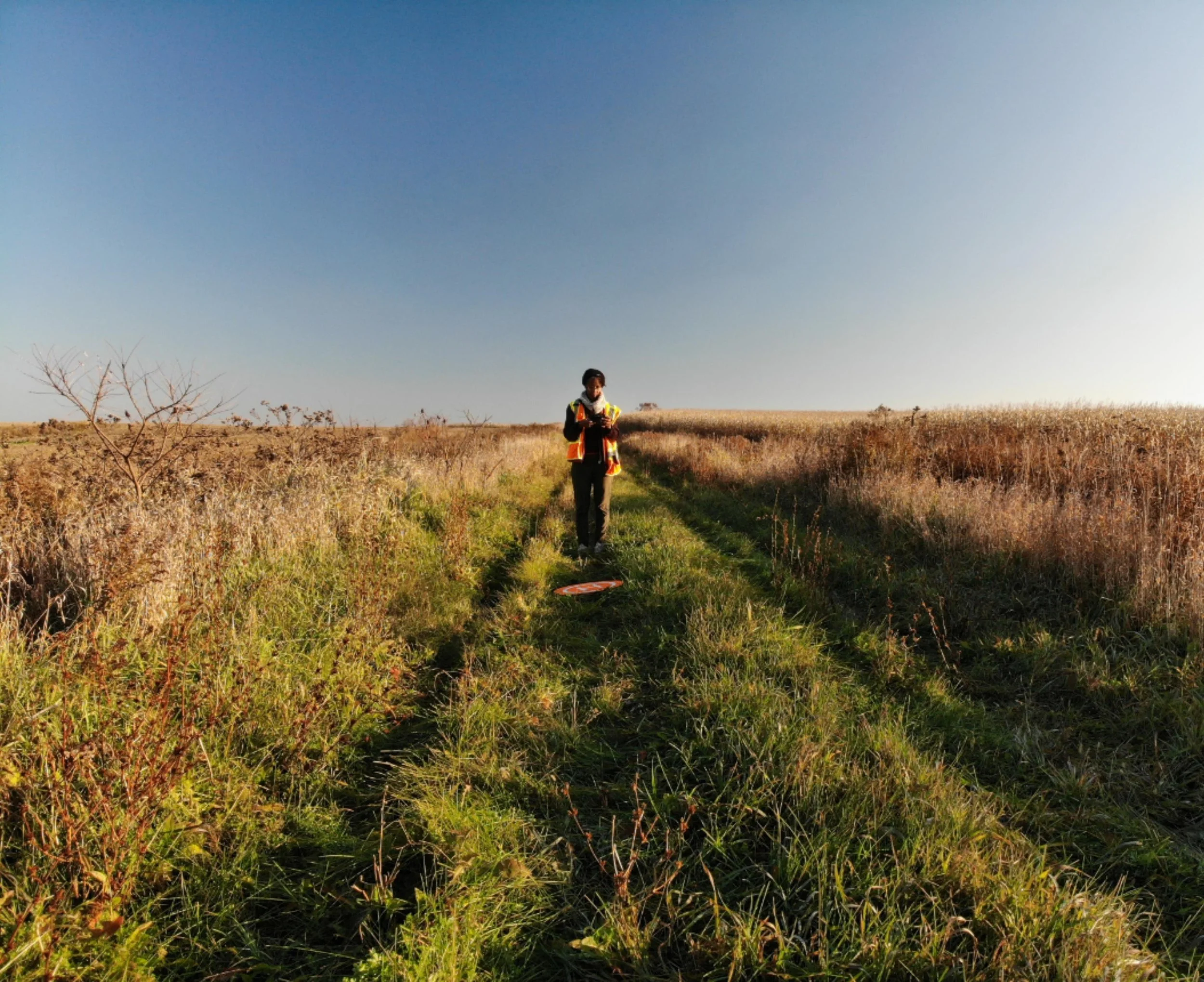
At veritas terrae, we provide drone and remote sensing geospatial visualization and analysis for municipalities, planners, impact professionals, and environmental organizations.
Beyond data collection, we advise organizations on Earth Observation data management and interoperability strategies—ensuring environmental data is driven by purpose, transparency and data management principles.
We deliver the earth intelligence you need to integrate nature-based solutions and build climate-resilient communities.
Services
-
-
Example Solutions:
Normalized Difference Vegetation Index (NDVI), Normalized Difference Water Index (NDMI), etc.
-
-
-
Talk to us about creating an affordable solution using open source resources.
We match our geospatial services to the decisions you must make. Use drones when you need precise site maps and close-up detail, and satellites when you need comprehensive regional views. We provide the clear perspective you need to understand the land and inform your next steps. Below are examples of situations where we can help.